Sydney is a vibrant and sprawling city, known for its iconic landmarks and scenic harbor, but getting around can sometimes be challenging if you're not familiar with the public transport system. Whether you're relocating to a new neighborhood or just visiting, this guide will provide a comprehensive breakdown of Sydney's transport network—ensuring you can explore the city easily and efficiently.
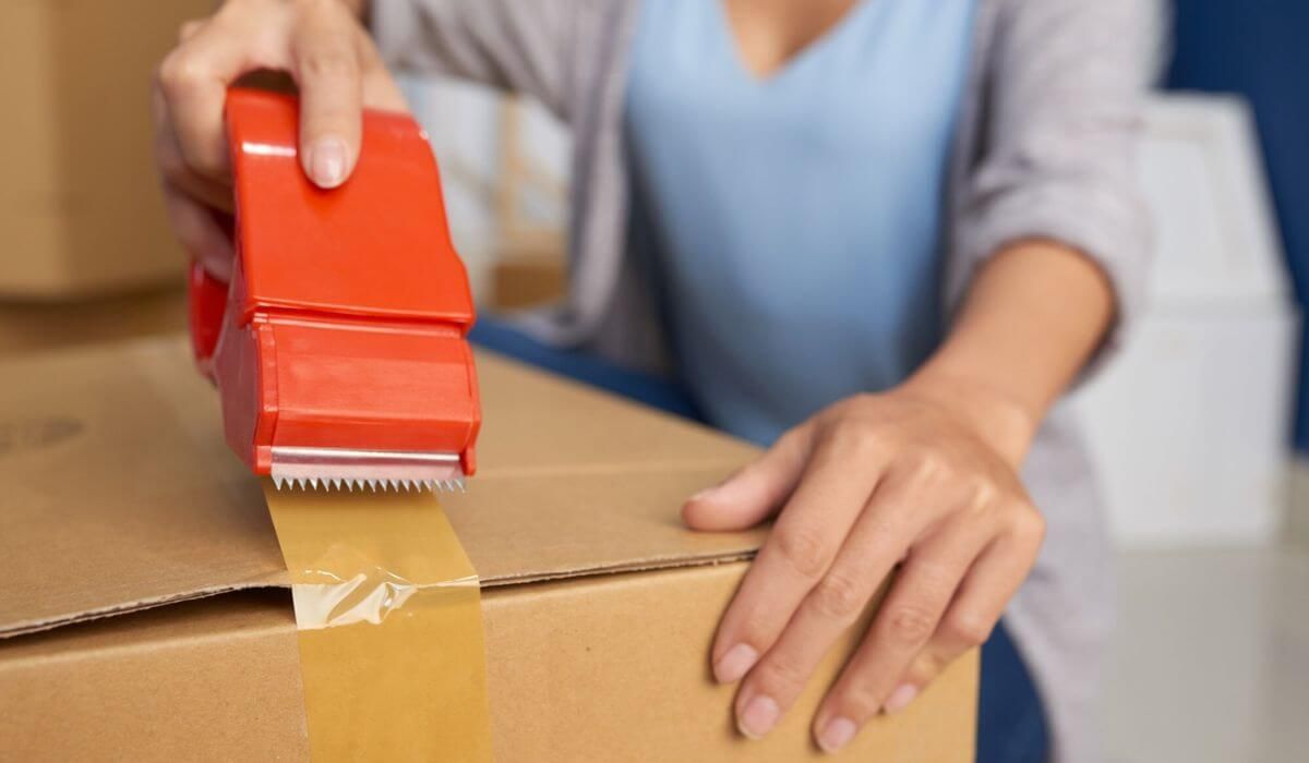
With buses, trains, ferries, and light rail all accessible via the Opal card system, Sydney’s public transport is designed for convenience. For those moving houses or needing reliable transportation, especially when coordinating logistics with services like
Sydney Removalists,
knowing how to navigate Sydney’s transport system can make the entire process smoother.
1. Public Transport in Sydney Overview
Sydney offers a variety of public transport options, from buses and trains to ferries and light rail. Each mode is tailored to different travel needs, helping you navigate everything from the busy
CBD (Central Business District)
to quieter suburban areas.
The Different Modes of Public Transport in Sydney
Sydney’s public transport network consists of:
- Buses: Covering nearly all parts of Sydney, buses are the most versatile option. They operate frequently and provide both inner-city and suburban routes.
- Trains: The train network is ideal for longer journeys, especially for commuters and intercity travel.
- Ferries: Sydney’s waterfront is best explored via ferries, offering picturesque routes to places like Manly and Parramatta.
- Light Rail: Running through the CBD and surrounding areas, the light rail is an efficient, eco-friendly option for short trips.
Why Choose Public Transport in Sydney?
Public transport in Sydney offers several benefits:
- Convenience: With services running regularly, you won’t have to wait long for your next connection.
- Affordability: Public transport is more affordable compared to taxis or ride-shares, especially with the Opal card system.
- Eco-friendly: Opting for public transport reduces your carbon footprint, contributing to a greener Sydney.
- Time-saving: Avoid the city’s notorious traffic by using fast and efficient transport, particularly during peak hours.
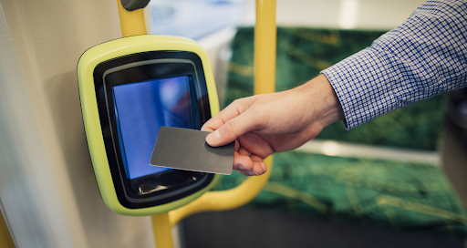
2. How to Use the Opal Card
The Opal card
is your all-in-one travel pass for Sydney’s buses, trains, ferries, and light rail. Using it is straightforward, making public transport both easier and more cost-effective.
Where to Get and Top Up an Opal Card
Opal cards are available at convenience stores, newsagents, and train stations. You can also top up online, at retailers, or through the Opal app, making it easy to keep your balance topped up as you travel across the city.
Opal Card Fares and Caps
Fares vary depending on the distance and type of transport, but with the Opal card, you benefit from daily and weekly caps. For example, the daily cap limits the total amount you spend on public transport each day, making travel more affordable. This is particularly useful if you're a resident moving with
Sydney Removalists
and need to travel frequently for errands or house viewings.
3. Sydney’s Train Network
Sydney’s train network is extensive, making it ideal for longer trips, including those from the outer suburbs into the city center.
Key Train Lines and Stations in Sydney
- Central Station: The main hub for all train lines, including suburban and intercity routes.
- Suburban Lines: Covering various parts of Sydney, these lines connect areas like Parramatta, Bondi Junction, and Hornsby.
- Intercity Trains: For trips beyond Sydney, such as to the Blue Mountains or Newcastle, the intercity train services are reliable and scenic.
Train Schedules and Accessibility
Trains operate frequently, with increased services during peak hours. Sydney’s train stations are designed with accessibility in mind, offering lifts, ramps, and easy access for wheelchairs and strollers. If you’re moving with
Sydney Removalists, you can use the train network to avoid traffic delays when commuting to your new location.
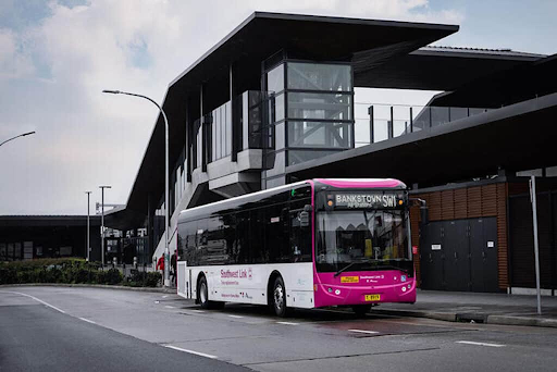
4. Bus Services in Sydney
The bus network in Sydney is comprehensive, covering both metropolitan and suburban areas.
Main Bus Routes in Sydney
- Inner-City Buses: These routes operate frequently, connecting key areas like Circular Quay, Bondi Beach, and Sydney’s CBD.
- Express Buses: If you’re commuting from the suburbs, express buses offer a quicker, more direct route into the city, bypassing traffic.
How to Check Bus Timetables
Real-time updates are available via transport apps like Google Maps or the Opal app, which allow you to check live schedules and plan your journey more effectively.
5. Ferries: Exploring Sydney’s Waterfront
Sydney’s ferries are not just a mode of transport—they offer some of the best views of the harbor and iconic landmarks such as the
Sydney Opera House and Harbour Bridge.
Popular Ferry Routes for Tourists and Commuters
- Manly Ferry: One of the most popular routes, the Manly Ferry takes you from Circular Quay to Manly Beach in about 30 minutes.
- Parramatta River Ferry: This scenic route travels along the Parramatta River, offering a relaxing way to commute to the western suburbs.
Tips for Using Sydney Ferries
Ferry schedules can change depending on the time of day, and services may be affected by weather conditions. It’s advisable to check the timetable before heading to the terminal to avoid delays.
6. Sydney’s Light Rail Network
The light rail is a modern, environmentally friendly addition to Sydney’s transport network. Running through the CBD, it connects the city’s major hubs with key attractions.
Key Stops and Routes on Sydney Light Rail
The light rail operates in two main areas: the Inner West and the CBD. Key stops include:
- Circular Quay: A major stop connecting with ferries and trains.
- Darling Harbour: A bustling area with shopping, dining, and entertainment options.
- Haymarket: Located near Chinatown, this stop is ideal for exploring Sydney’s cultural offerings.
Benefits of Using Light Rail in Sydney
The light rail is particularly useful for short commutes within the city. With frequent services, it’s a quick and cost-effective way to travel through the CBD without worrying about traffic or parking fees.
7. Navigating Sydney’s Transport with Apps
In today’s digital age, navigating Sydney’s public transport has never been easier, thanks to a range of transport apps that provide real-time updates and trip planning.
Best Apps for Public Transport in Sydney
- Opal App: Monitor your balance, top up your Opal card, and check fare information.
- Google Maps: Offers accurate public transport routes, with live updates on bus and train times.
- TripView: A popular app that provides real-time schedules for buses, trains, ferries, and light rail.
How to Plan Your Journey Using Apps
Transport apps allow you to plan your route in advance, providing live updates on delays, disruptions, or schedule changes. For those relocating or coordinating moves with Sydney Removalists, these apps are invaluable for staying on top of transport logistics during busy
Conclusion
Sydney’s public transport system is a convenient, affordable, and eco-friendly way to explore the city. Whether you’re moving to a new neighborhood with
Sydney Removalists
or simply sightseeing, the combination of buses, trains, ferries, and light rail ensures that getting around is straightforward and stress-free. With the Opal card system and various transport apps available, you’ll find it easy to navigate Sydney and make the most of your time in this dynamic city.
FAQs About Public Transport Options in Sydney
How does the Opal card work in Sydney?
The Opal card is a smart card that you can use across all public transport modes in Sydney, including buses, trains, ferries, and light rail. To use it, simply tap on at the start of your journey and tap off at the end. Your fare will be automatically deducted from your Opal card balance.
What are the main public transport options in Sydney?
Sydney’s public transport options include buses, trains, ferries, and light rail. All these options are well-integrated into the Opal card system, allowing for seamless transfers between different modes of transport.
How much does public transport cost in Sydney?
The cost of public transport varies depending on the distance you travel and the type of service you use. However, the Opal card offers daily and weekly caps, which limit the maximum amount you’ll pay, making it affordable for frequent commuters.
Is public transport reliable in Sydney?
Yes, Sydney’s public transport system is generally reliable, with services running regularly and frequent updates provided through various apps. Buses and trains can experience delays during peak hours, but real-time tracking ensures that you stay informed.
Which app is best for navigating public transport in Sydney?
The Opal app and Google Maps are two popular options. The Opal app allows you to manage your card balance and see fare information, while Google Maps provides detailed public transport routes and live updates for better trip planning.
You might also like